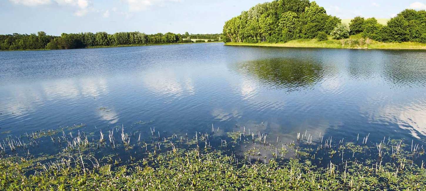
Mjels Sø - scenic nature at the island of Als
Mjels Lake has been both drained and cultivated since the 1800s, but in 2006 it was recreated as a lake.

The 64-km hiking route follows the coastline through some of Als’ most beautiful scenery. Starting at the causeway to Kegnæs, it runs through rolling cornfields and bright yellow rape on one side of the path and the blue waters of the Little Belt on the other.
If you love the countryside, your hike on Alsstien will bring with it lots of superb memories. You may see the white-tailed eagle soaring above the lakes in Naturpark Nordals, whilst there’s also rich birdlife at the lake around the castle at Nordborg Slot.
Experience the hilly landscape where the church and windmill in Havnbjerg both offer views of Universe Science Park, the Little Belt and the forest at Nørreskoven.
Enjoy the view of meadows such as those at Fjordmosen, with its natural beach ridge, and take a selfie at the legendary lighthouse of Taksensand Fyr.
Kilometre designations on the map start in Hardeshøj and end in Skovmose. The path is signposted in both directions.
You’ll find the largest accumulation of burial mounds in Sønderjylland in Blomeskobbel, and outside the forest there’s a long barrow with a particularly tragic history. According to ancient myth, a peasant that was out fetching stones at a local barrow died when the load tipped over. Superstition amongst those living in the area meant that nobody then dared to fetch the stones that he’d cut.
Take a refreshing dip on a warm summer day at one of the three Blue Flag beaches at Fynshav, Mommark and Drejby.
If you sleep in a tent or shelter, during the summer, you can supplement your diet with crisp beach cabbage, and in the autumn, the living hedges are teeming with blackberries.
Most of our shelters and tent sites operate on a first-come, first-served basis, but those associated with the Bridle Route Als under the designation Hay-hotel and Hay-tentsite must be booked and can also be used by walking, cycling, and sailing guests.
Welcome to the idyllic rural areas and their infrastructure.
Bus connections are operated by Sydtrafik, providing good coverage of the main routes between larger cities, but the outskirts have fewer intervals.
Sønderborg-Ballebro
If you want to take the bus towards Ballebro and the Bitten Ferry, you can check the schedule for line 113. The nearest bus stop is in Blans, and from there, it's about 2 km to the ferry. Another option is to walk along the Als Sound Trail to the ferry at Ballebro.
Skovby-Sønderborg
Here, you can use line 229, which also allows you to board in Høruphav if you've continued there along the Gendarmstien - you can also choose to follow the Gendarmstien all the way back to Sønderborg.
You can always find the updated schedule for the area's buses at www.sydtrafik.dk. Please note that schedules with an "F" are valid from week 26 to week 31 and during Christmas and New Year.
Flexibus
During weekends and holiday periods, there may be long intervals between bus times. If you can't make the schedule work, you can book a Flexibus. A Flexibus can be ordered to pick you up or drop you off at various points along the route, but you'll need to provide an address for their GPS. Simply book a Flexibus two hours before pickup by calling +45 76 608 608.
Luggage and passenger transport
AT Taxi makes it possible to avoid carrying your luggage or you can book transport to an accommodation.
If you arrive by public transportation to Sønderborg or desire a longer trip than the 64 km, then combine Alsstien with Alssundstien from Sønderborg to Ballebro. Take the ferry across Als Fjord, and when you reach the endpoint of Alsstien in Sydals, continue along Gendarmstien's Mølleetape from Skovby to Høruphav. From there, via a section of Strandetapen, return to Sønderborg.